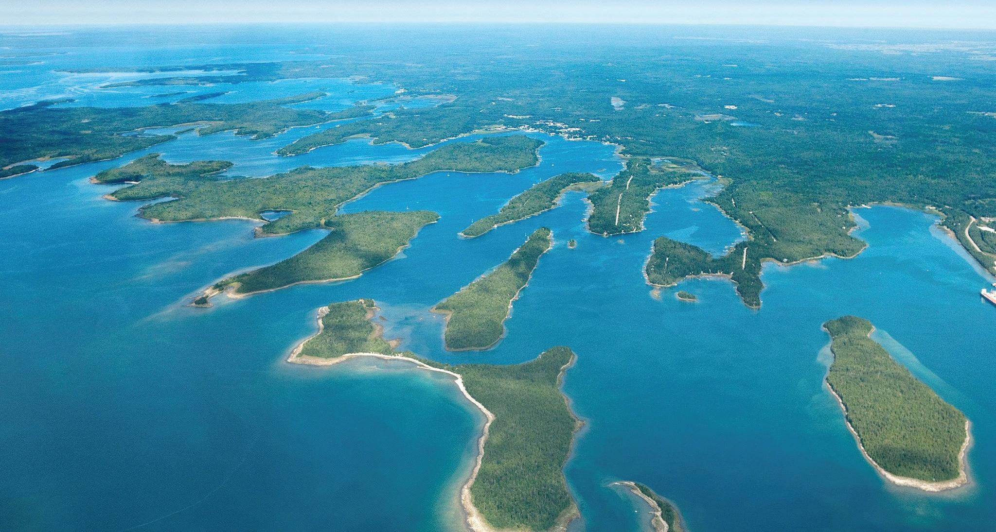
Nestled in the tranquil waters of Lake Huron, the Les Cheneaux Islands offer a serene escape into nature's splendor. Located in Michigan's eastern Upper Peninsula, this unique archipelago of 36 islands is a treasure trove of adventure and relaxation.
A Journey Through "The Channels"
The name Les Cheneaux, echoing the grace and elegance of the French language, signifies "the channels," a fitting moniker for this labyrinth of waterways. The islands stretch across 12 miles of Lake Huron's shoreline, presenting an intricate maze of sheltered bays and serene channels. These natural harbors offer a safe haven for sailors and boaters, protecting them from the unpredictability of the Great Lake's winds.
The Heart of the Islands: Cedarville and Hessel
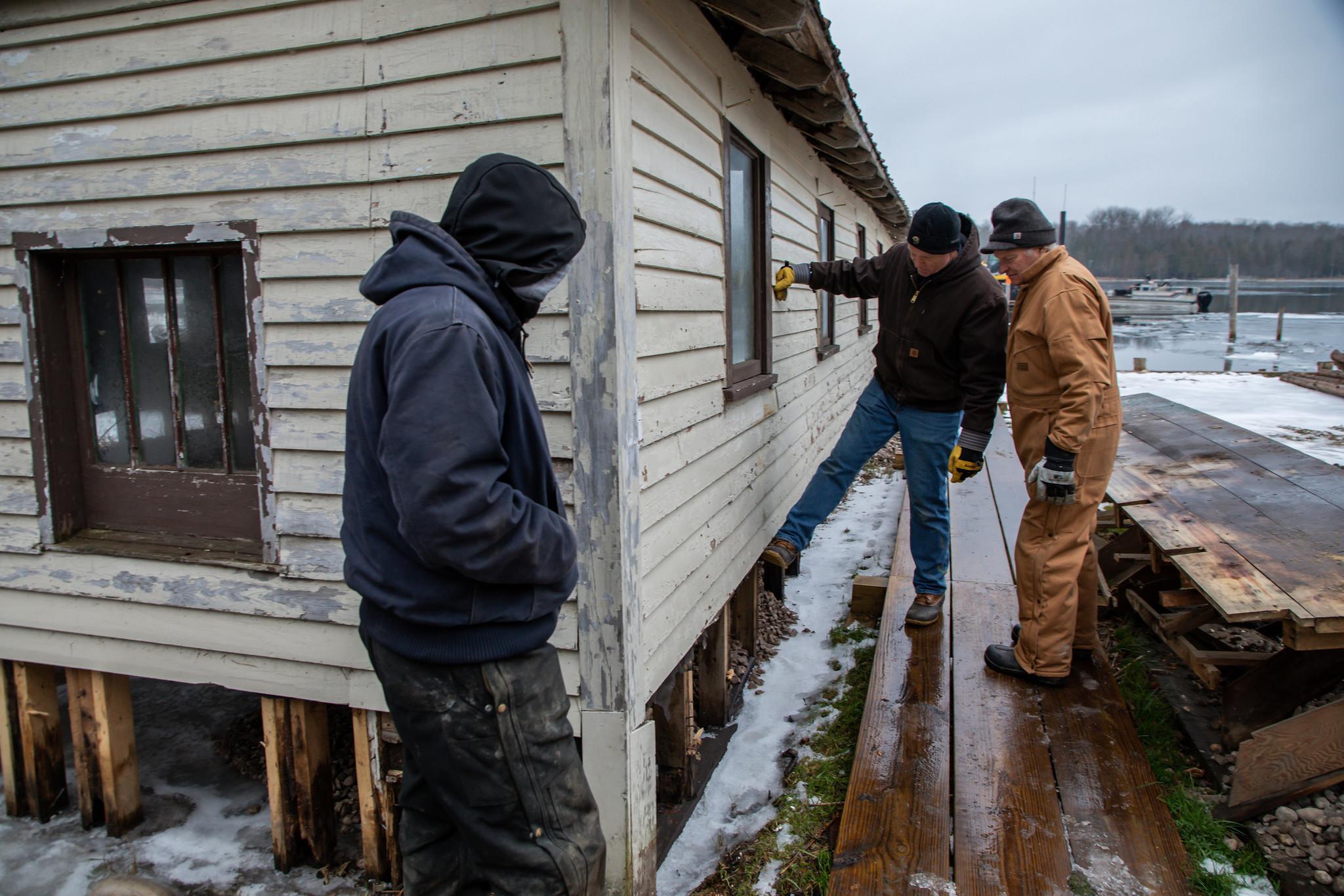
At the core of Les Cheneaux Islands lie the historic fishing villages of Cedarville and Hessel. These small communities are the pulsing heart of the islands, with their excellent marinas, cozy lodging options, inviting campgrounds, and variety of restaurants. Visitors can also enjoy a spot of shopping or visit the local churches, adding a quaint charm to their island experience.
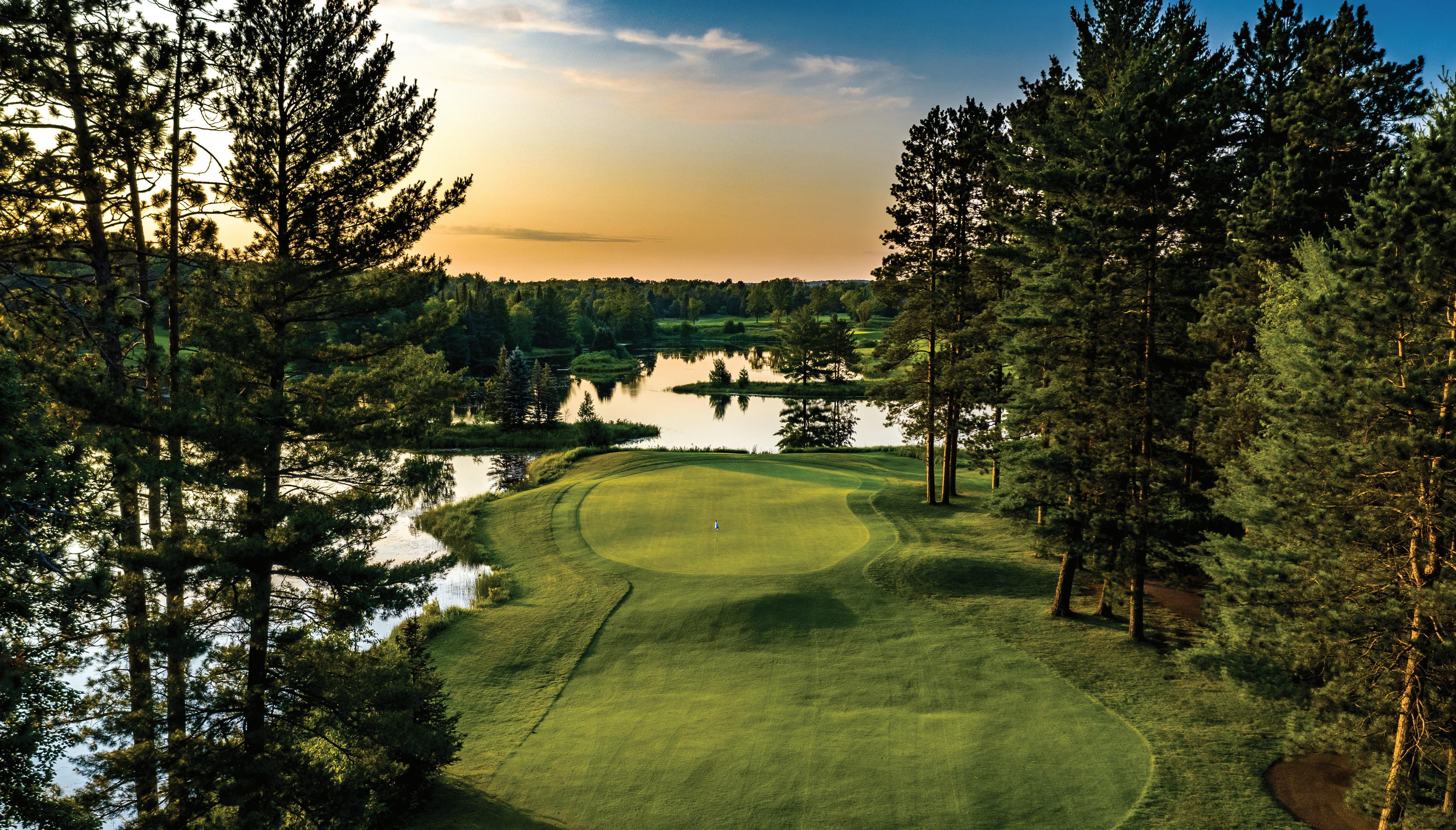
Mesmerizing Nature and Year-round Enjoyment
The islands' picturesque landscapes, from their waterways and wetlands to pine-scented forests, captivate visitors, leading many to affectionately refer to this region as "God's Country". As the seasons change, the islands transform, offering a refreshing playground for outdoor enthusiasts throughout the year.
Nautical Adventures and Watersports
With channels ideal for kayaking, Les Cheneaux is in the process of developing water trails that promise a new and spirited form of recreation. The protected bays and quiet coves are perfect for a variety of watersports, inviting everyone from amateur paddlers to seasoned sailors to explore the expansive waters.
Winter Wonderland: Trails for Snowmobiles and Skis
When the islands are wrapped in a blanket of snow, the adventure continues with groomed snowmobile trails that stretch far beyond the local confines, creating pathways to Wisconsin, Canada, and beyond. Cross-country ski enthusiasts will also find miles of trails to glide across the pristine winter landscape.
Hunting and Wildlife in the Upper Peninsula
For those with a passion for hunting, thousands of acres of state-owned land provide prime territory abound with wildlife. Whether it's the thrill of the hunt or the quiet observation of animals in their natural habitat, the eastern Upper Peninsula never ceases to amaze.
Celebrating Community: Snowsfest and Local Creativity
Snowsfest, a highlight in the community calendar, brings together residents and visitors in a celebration of winter's magic. The festivity's spirit is captured in the artwork of local students, symbolizing the community's dedication to fostering creativity and connection.
Discover the Charm of Les Cheneaux Islands
Travel ignites our sense of wonder and opens our eyes to the beauty hidden within the world's nooks and crannies—just like the Les Cheneaux Islands. As you sail, paddle, or trek through this northeastern Michigan paradise, you not only uncover the magic of "God's Country," you awaken a yearning to return. For every visit unfolds a story, every season paints a new picture, and every adventure beckons you back to the peaceful embrace of Les Cheneaux.
Miami
Punta Cana
- Majestic Mirage Punta Cana
- Bahia Principe Grand Punta Cana
- Hard Rock Hotel Punta Cana
- Punta Cana All Inclusive
- Punta Cana All Inclusive
Las Vegas
Austin
Cancun
- Temptation Resort Cancun
- Cancun Bay Resort - All Inclusive
- All Inclusive Resorts Cancun
- All Inclusive Resorts Cancun
Playa del Carmen
Monterey
Windermere
Myrtle Beach
- Landmark Resort
- Best Hotels In Myrtle Beach For Families
- Myrtle Beach Oceanfront Hotels
- All Inclusive Resorts Myrtle Beach